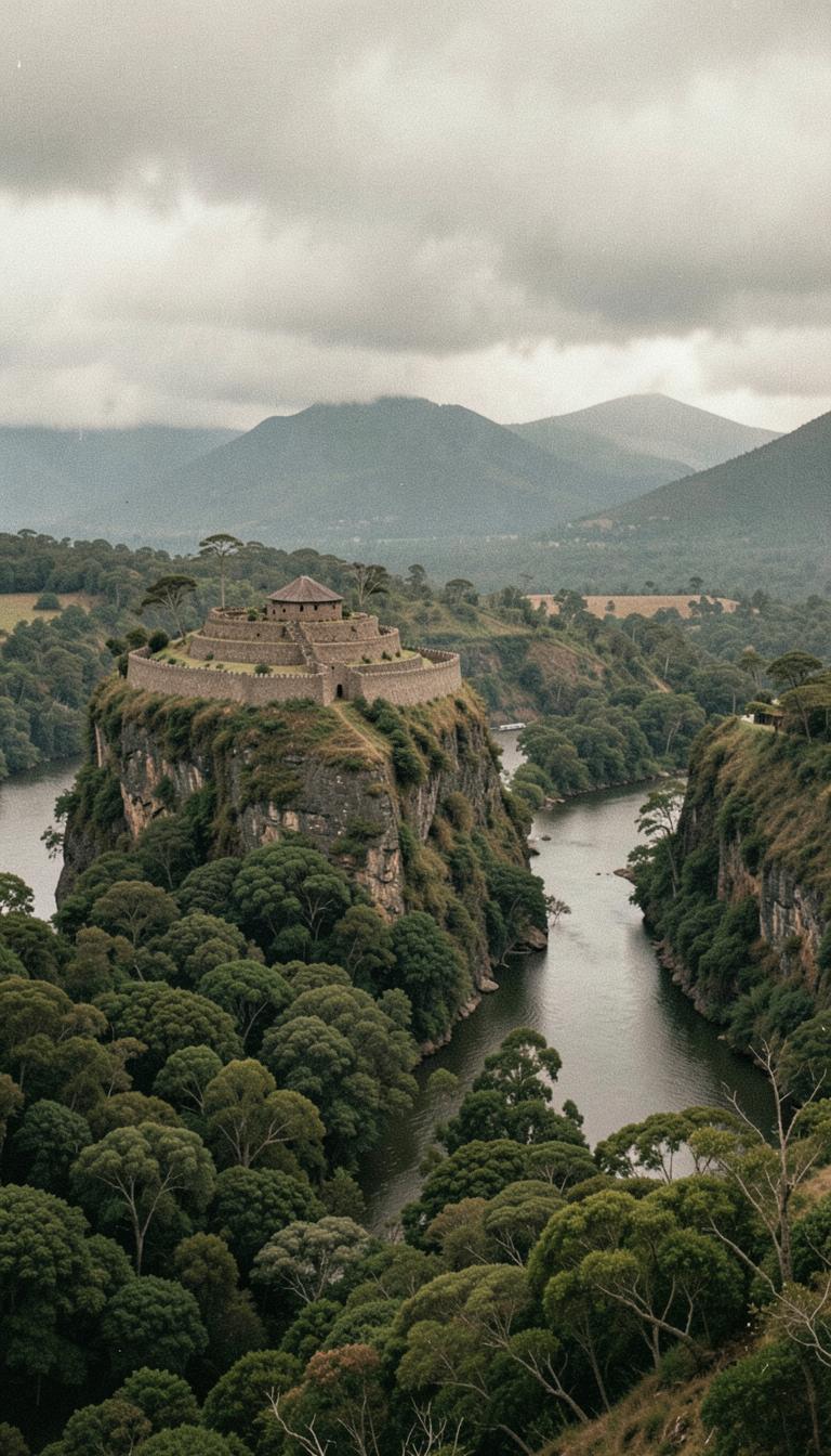
Record status: Review needed. The reconstruction is a visual interpretation, never evidence.
Location unconfirmed
The map point for this place has not been confirmed against a published reference yet. Treat it as indicative only.
Where
Waitara River, Taranaki, Taranaki.
What happened
Waikato and Ngāti Maniapoto forces besieged the cliff-top pā above the Waitara River for some three months; sources differ on whether the pā fell in late 1831 or early 1832. Survivors were killed, enslaved, or died leaping into the river below — a defeat that accelerated Te Āti Awa migrations south to Kapiti and Te Whanganui-a-Tara.
Continue the story
Sources
Te Ara – the Encyclopedia of New Zealand
Pukerangiora pā (New Zealand Wars)
Records a three-month siege of Te Āti Awa by Waikato tribes at Pukerangiora in 1831, about 8 km inland from Waitara.
Open source ↗Te Ara – the Encyclopedia of New Zealand
Pukerangiora pā (Taranaki region)
Places Pukerangiora on the cliffs above the Waitara River and records the Waikato invasion of Taranaki from 1831.
Open source ↗